
From house concerts to multi-day hikes.
Radostio is made for active people and the events they love: routes with maps and GPX for hikes and rides, day-by-day plans with overnight stays, and a place where artists and venues find each other. And everyone uses it in their own language.
Communities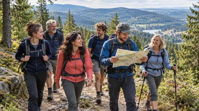
Route map · English
12.4 km
Distance
↑ 320 m
Climb
4 h
Time
Hikers see the GPX route on a map, with distance, climb and a download.
Illustrative photos, not real events.
Our mission
Good times start with people coming together.
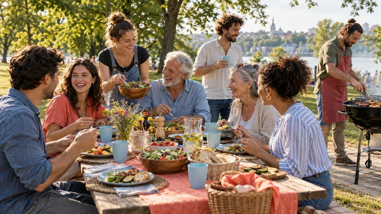
A walk with your club, music in someone’s living room, a shared picnic or a weekend adventure — Radostio makes it easier to bring people together.
We help groups plan their activities, musicians find welcoming places to perform, and hosts create gatherings where everyone can feel at home. Whether you’re sharing a trail, a song or a snack, there’s room to meet new people and get to know each other.
With simple planning tools and an app that speaks each guest's language, everyone can follow the plans and see who's joining — even in a city where they don't speak the local language yet.
Our mission is to make gatherings easier, give new talent a place to grow, and create more opportunities to enjoy good company.
More than a date, a place and a price
Built for the event you're actually planning.
Your language
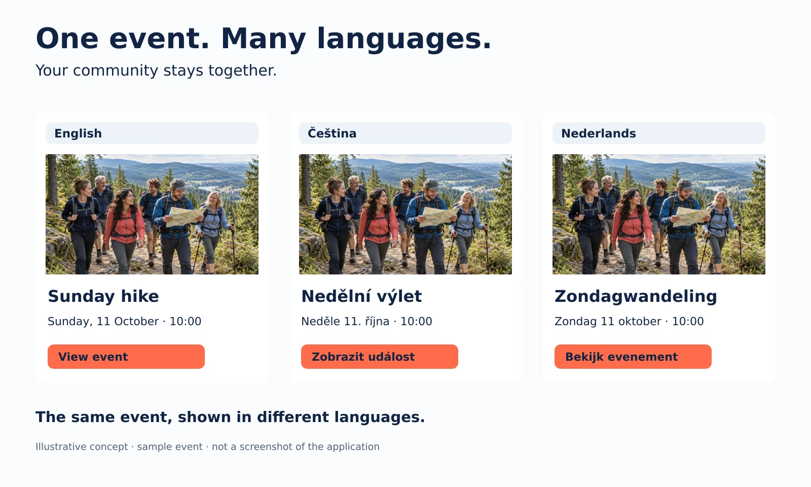
The whole app in English, Czech, German, Dutch or French — whatever language the event is in.
GPX routes & maps
Upload trails, show them on a map, download GPX.
Offer your venue
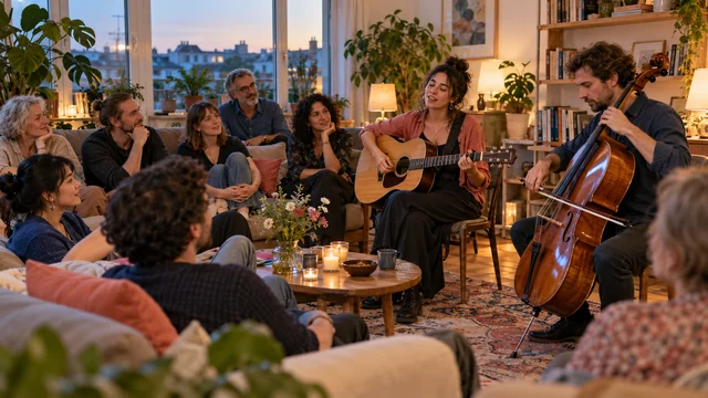
Open your living room or space to travelling artists.
Invite guests
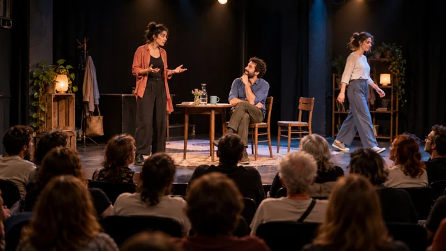
Invite-only, approval or public — you decide who joins.
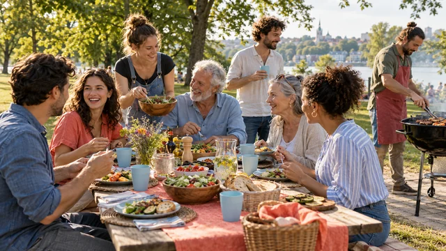
Who brings what
Shared lists so every dish and drink is covered.
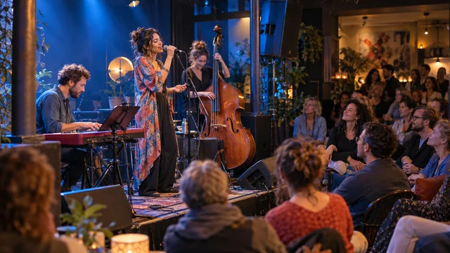
Artist stopovers
Touring musicians post free evenings; hosts invite them.
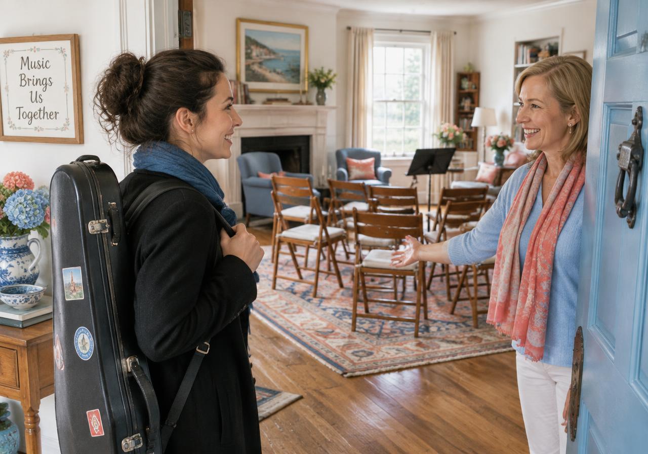
Artists & hosts
Touring musicians meet hosts with a room to share.
Artists post their free evenings while travelling. Hosts offer a living room, garden or venue. Agree on terms in a private chat and turn it into a house concert.
Illustrative photos, not real events.
Available languages
The app speaks your language.
Dates, places, RSVPs and reminders appear in each person's own language, so nobody has to guess what an event is about.
- English
- Čeština
- Deutsch
- Nederlands
- Français
One app, your language — Switch the language to see the interface follow you.
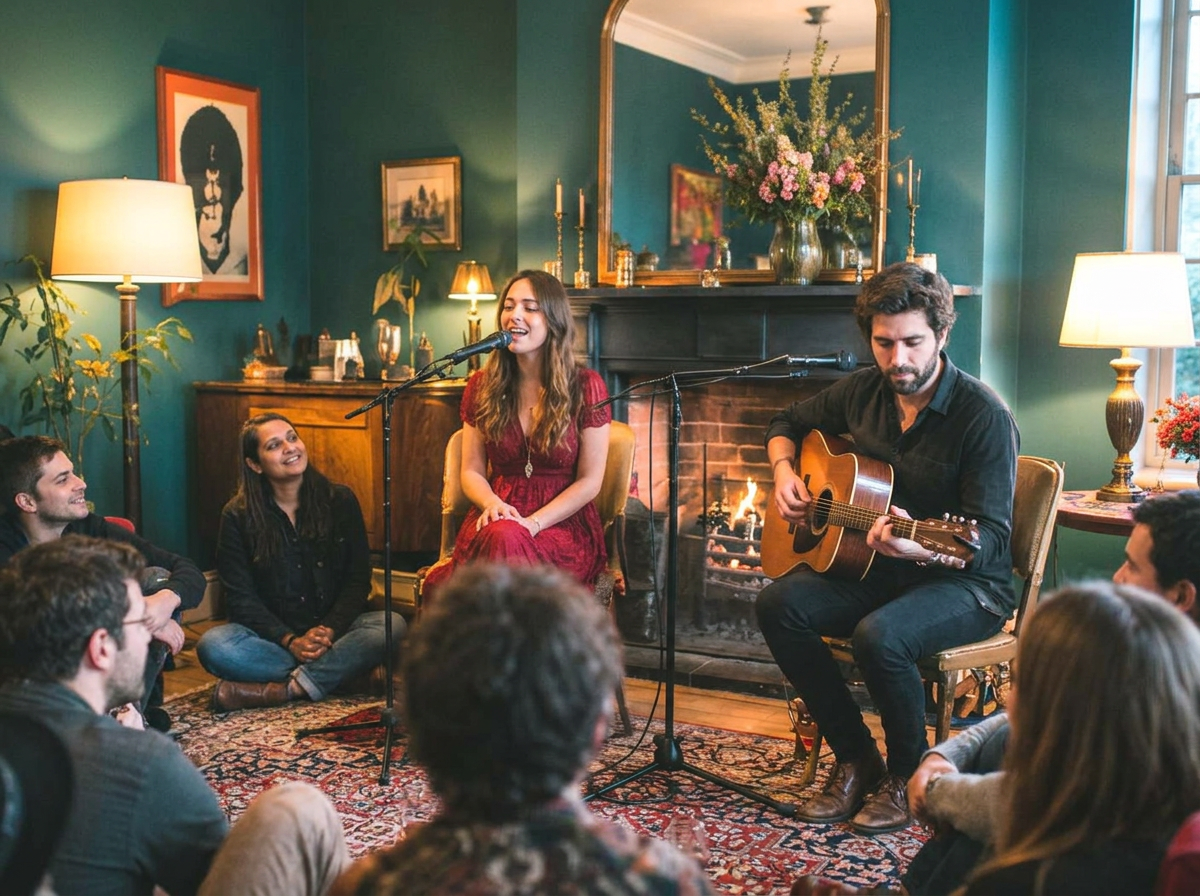
Made for every kind of gathering
From living rooms to forest trails.
Forest loop · GPX
12.4 km · ↑ 320 m
Who brings what
Potato saladJana
DrinksTom
CharcoalStill open
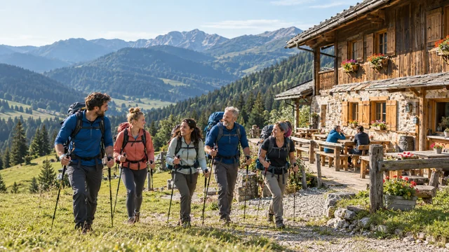
3-day trip
Day 114 km
Day 218 km
Day 311 km
Overnight: mountain hut
Illustrative photos, not real events.
Keep the memories together.
Store event photographs in albums and return to the moments you shared.
 14
14Only guests of this event can see the album.
Give your next adventure a route.
Include GPX route files and map views for your hiking trips.
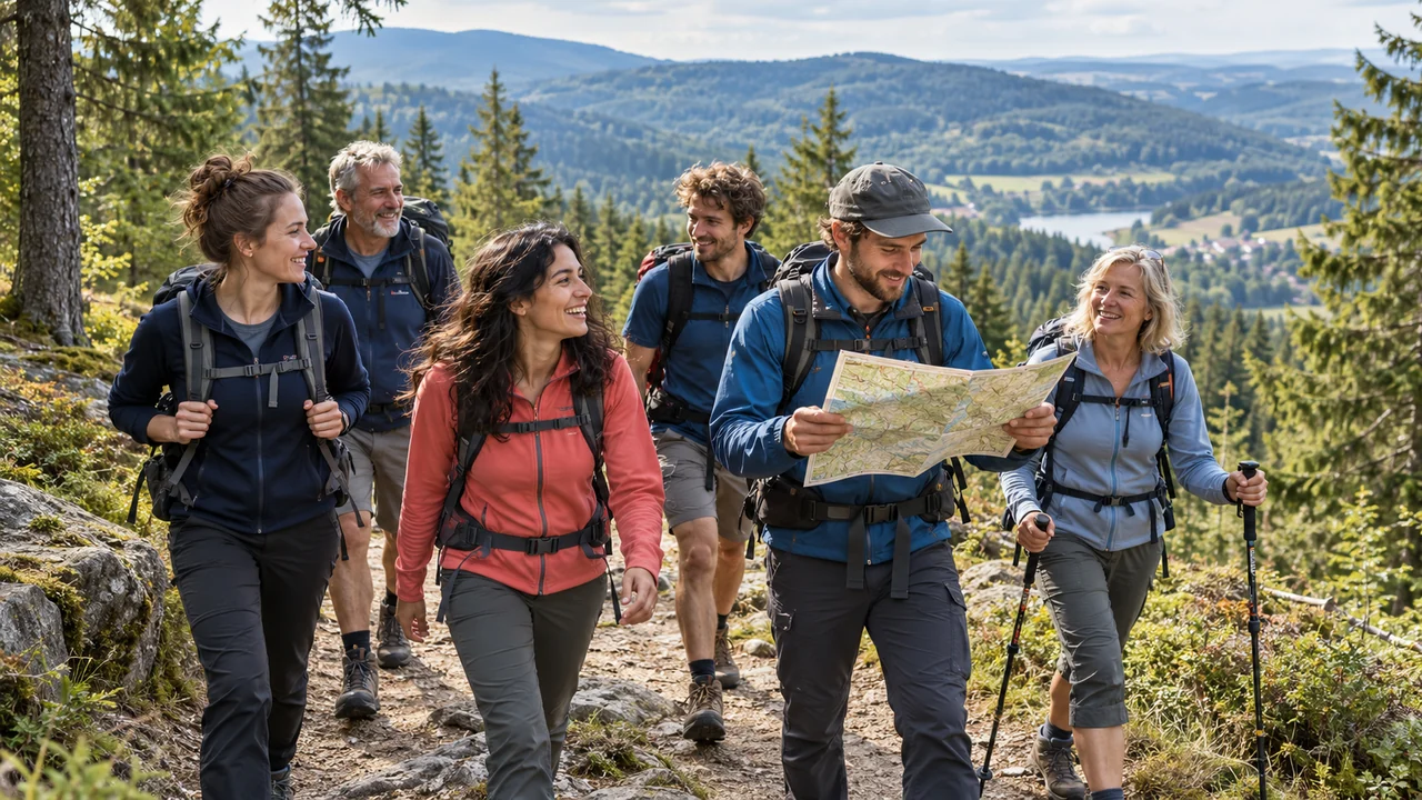
16.8 km
Distance
↑ 410 m
Climb
5 h
Time
Start · Turnov station 08:30
One trip. More than one day.
Bring several days of hiking together in one event.
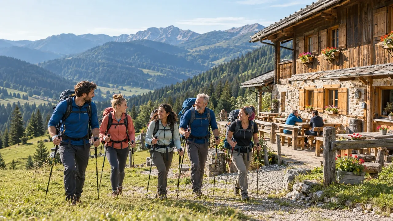
43 km total · 3 days · 2 nights
1Day 1 · Fri 12 Jun
Vrchlabí → Špindlerova bouda
14 km · ↑ 620 m
Mountain hut · dorm
2Day 2 · Sat 13 Jun
Ridge path → Luční bouda
18 km · ↑ 480 m
Guesthouse · 2-bed rooms
3Day 3 · Sun 14 Jun
Sněžka → Pec pod Sněžkou
11 km · ↑ 300 m
Bus back 16:40
Events & RSVPs
Publish, track and check in.
Custom branding
Logo, colors and theme per tenant.
Isolated data
Each workspace sees only its own.
Straightforward plans
A plan for every guest list.
Free
€0/mo1 active events · 25 RSVPs
Free events: no fee · Paid tickets: 5% fee
- 7 events a year, 1 live at a time
- 25 RSVPs
- Attendee list & check-in
Starter
€9/mo5 active events · 150 RSVPs
Free events: no fee · Paid tickets: 3% fee
- Up to 5 active events
- 150 guests across active events
- Custom branding & colors
- Push notifications
- 1 GB storage
Pro
€29/mo25 active events · 2500 RSVPs
Free events: no fee · Paid tickets: 1% fee
- Up to 25 active events
- Custom branding
- Attendee broadcasts
- Push notifications
- 10 GB storage
Create your event
Start a community or plan your next event in a few minutes.
Create your event